Cost effective accurate and safe data collection

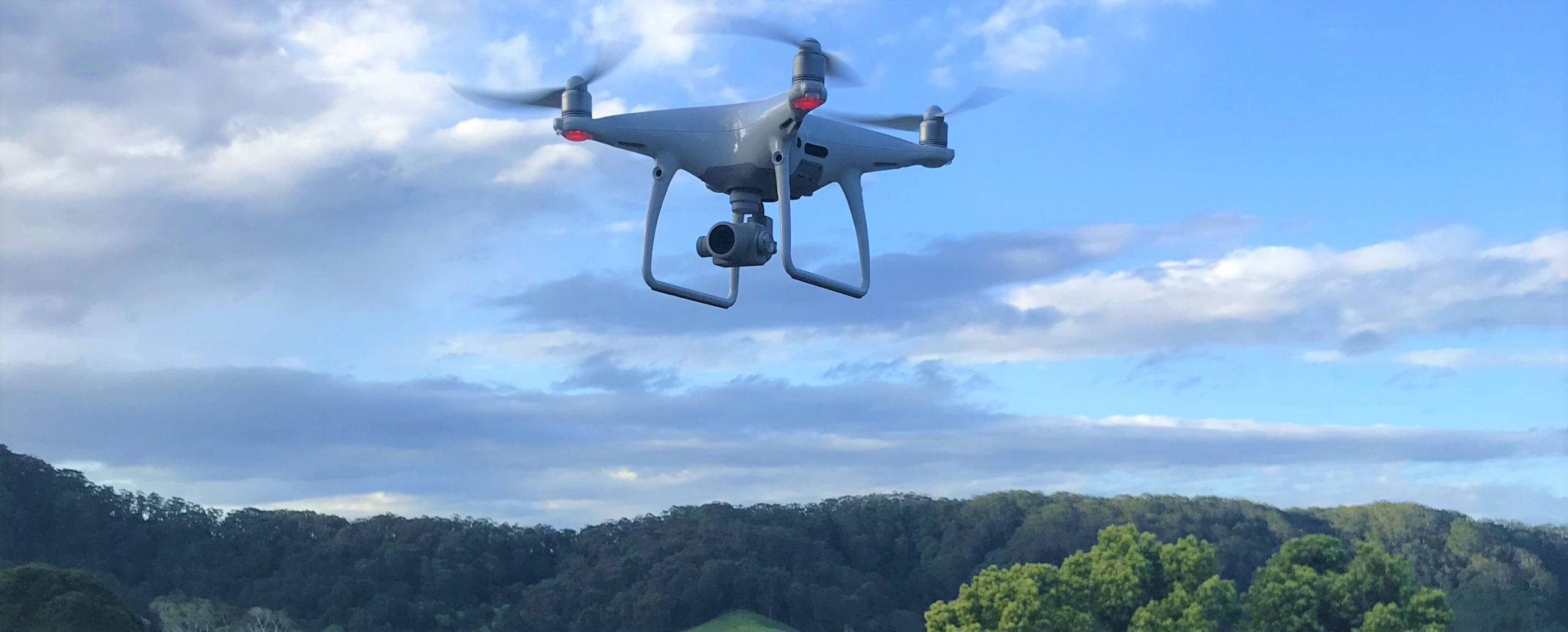
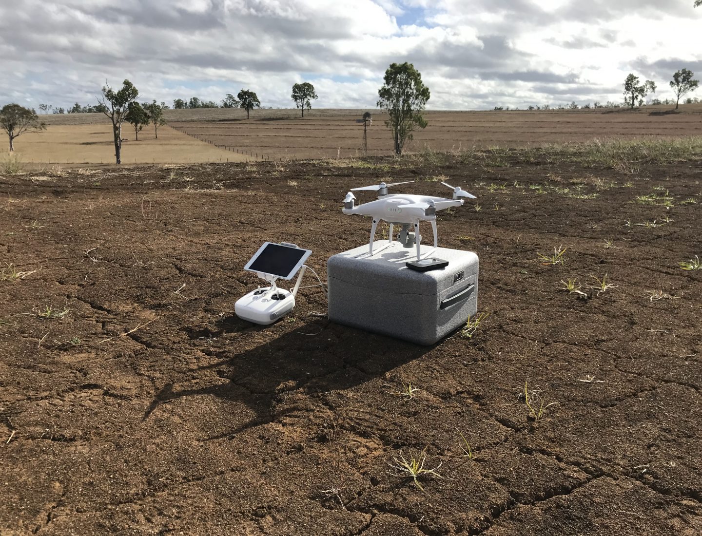
Surveying with a drone or Unmanned Aerial Vehicle (UAV), offers enormous potential for accurate and safe collection of data sets for mapping or design works over large and small areas in a cost-effective manner.

A UAV is used to capture aerial data from downward facing sensors. From this data, we use photogrammetry software to create georeferenced mosaics, digital terrain models or 3D models of the project area or subject. 

Contact us

RPA Operation Services Include

  • Photogrammetry, Aerial Mapping and Surveying
    • Rectified Orthographic Images
    • Topographic surveys and DTM and DSMs
    • Vegetation Mapping
  • Scheduled Flyover Imagery
  • Sales & Marketing Imagery
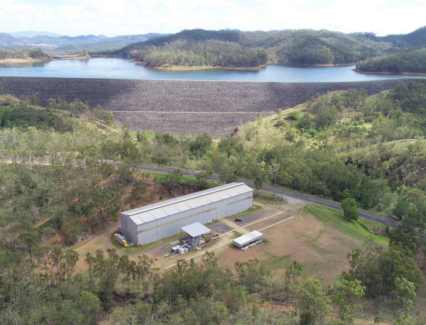
  • Infrastructure Asset inspections
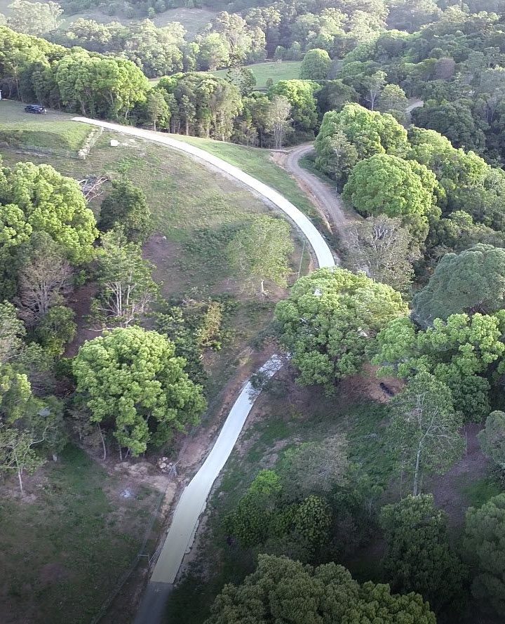
  • View corridor assessment

Related Projects

View a select list of Remote Piloted Aircraft (RPA) Operation projects completed for our clients.

VIEW ALL