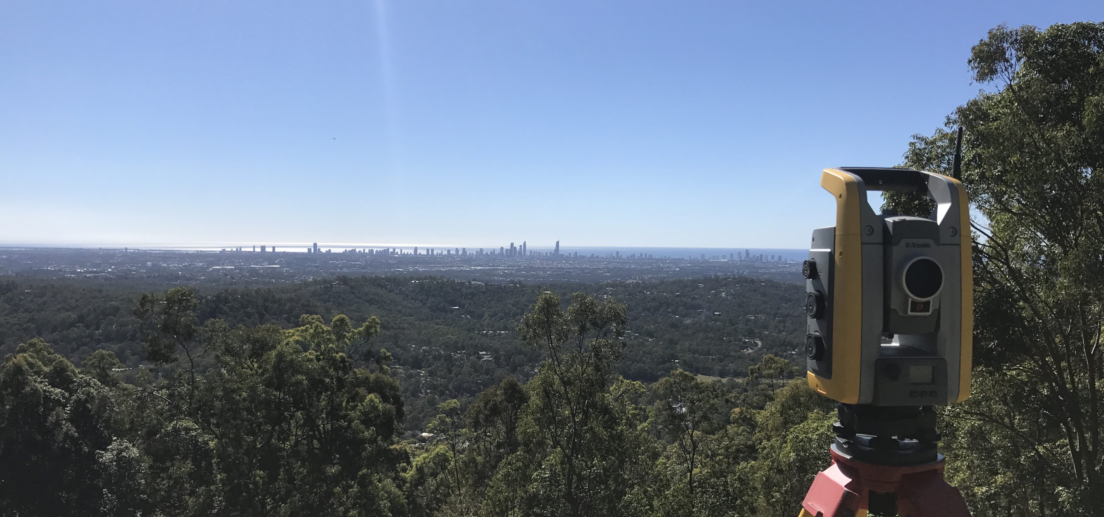
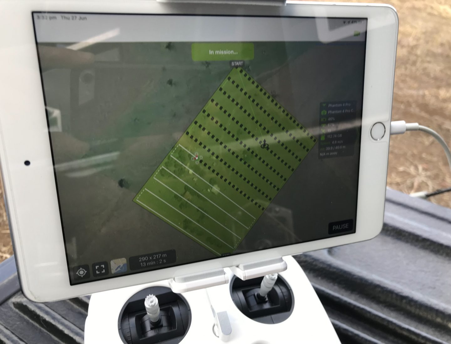
Fit for purpose spatial data is essential for all planning design and construction works. Based on the needs of our client and the ultimate end use, a data capture strategy is put together to deliver the required spatial data utilising the most cost-effective capture method suitable for each project.
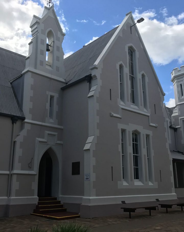
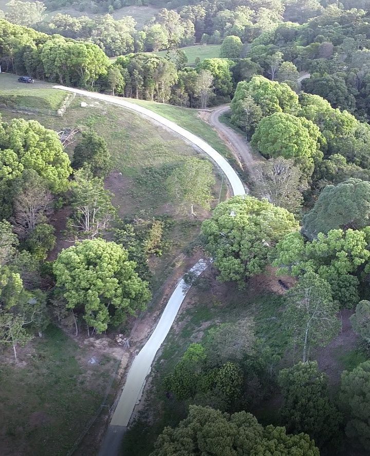
At Site PSM, our solutions utilise the latest innovative technology to capture reliable field data of built and natural environments to enable the effective design of new constructions as well as site analysis for planning and management.


